Geophysical Surveys Across River
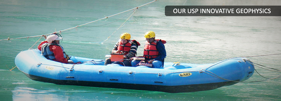
Back to ServicesSubsurface information across river may be obtained through trench less technology. Geophysical techniques like seismic refraction, electrical resistivity tomography etc., can quickly provide the information across river crossings.
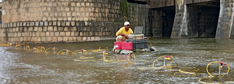
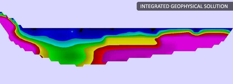
Electrical Resistivity Tomography
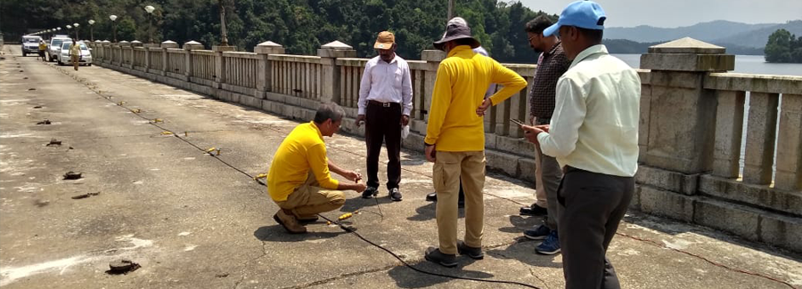
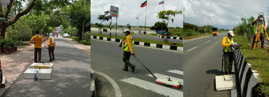
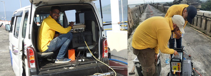
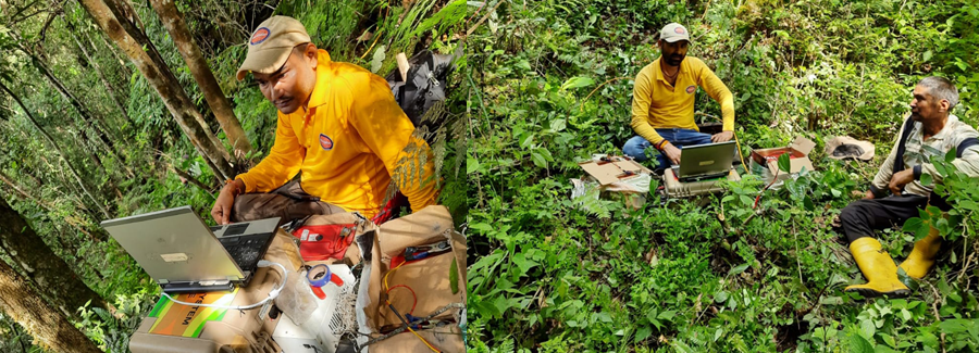
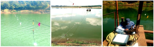
The data provides information of the thickness of overburden and bedrock condition for planning of further investigations. Data acquisition is carried out using portable equipment, boat and ropes. A river crossing of upto 300 meters can be easily investigated in less than a single day, providing information upto a depth of 50 meters.
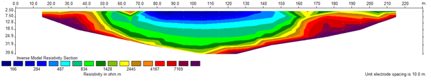
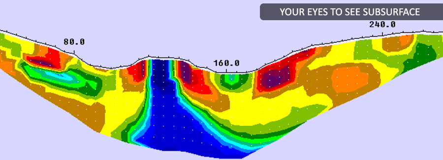
Electrical resistivity tomography carried out across river. The river section is in blue.
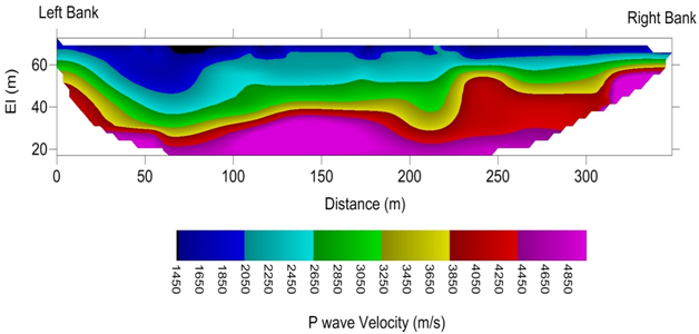
Seismic Refraction Tomography
Seismic Refraction Tomography may be conducted across river to assess bedrock level and its quality. SRT is usually preceded by bathymetric survey along proposed survey line. Survey is carried out with the help of hydrophones suspended from a rope tied across the river. Explosives are used as a source. Proper environmental clearances are taken before carrying out the survey.
Data is processed to provide velocity model of the survey section. . The results show variation in velocities up to the investigated depth associated with weathered/ compact rock.